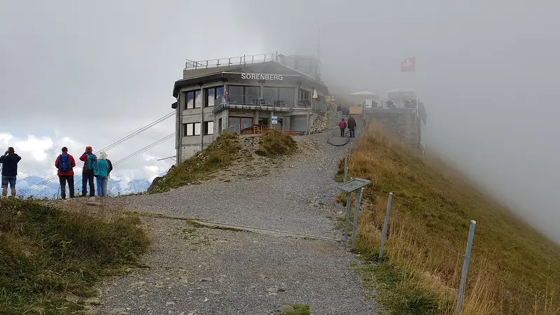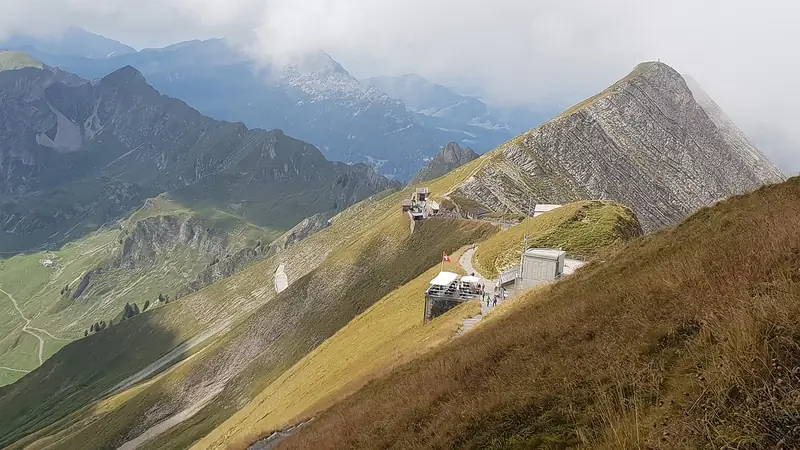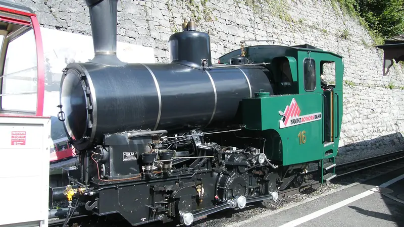
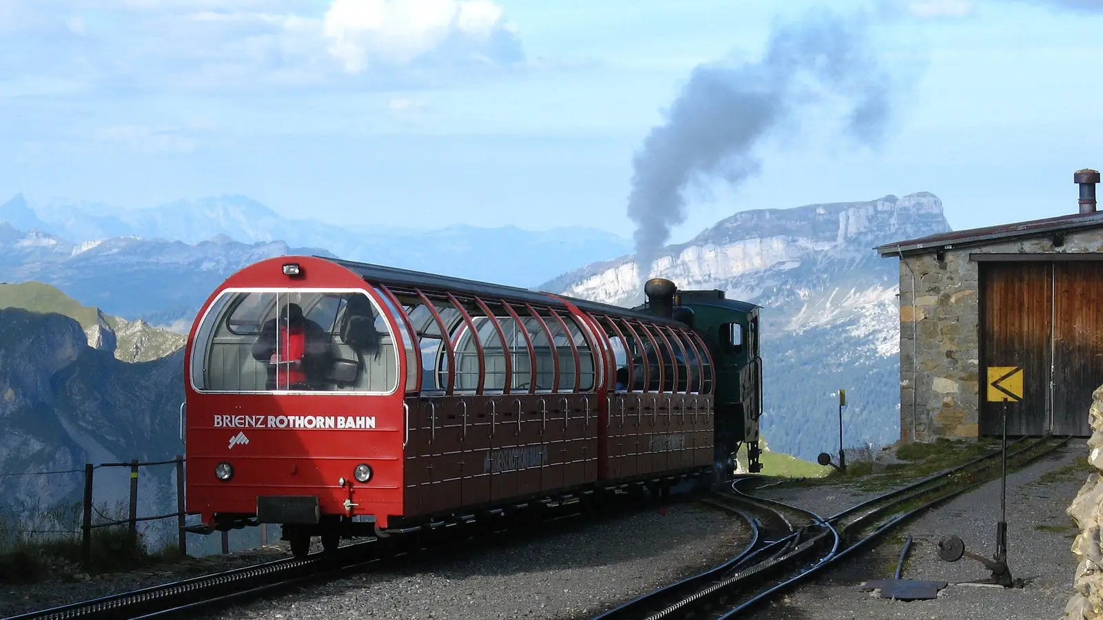
Many visitors never walk at all, but the mountain does offer good options with the train as a safety net. The railway runs next to many of the paths, so a half-walk is easy to plan.
Sensible options
- Planalp round trip. Take the train to Planalp (about 30 minutes) and walk back down to Brienz, or the other way. The railway lists about 2.5 to 3 hours for the walk. Buy a one-way ticket only: CHF 42 full fare, CHF 21 with Half Fare (prices).
- Planalp to the summit. The same 2.5 to 3 hours, with a train ride down from Rothorn Kulm.
- Full climb. Brienz to Rothorn Kulm takes about 5 to 6 hours on foot, with about 1,678 m of climb along the line. Start early so you are not caught by the 17:40 last train.
Start only in the season: paths can hold snow into June, and the railway’s own trains stop in October. Carry water, sun protection and a warm layer, since it is typically around 10 degrees colder at the top than in Brienz. In bad weather, use the train.
The Hardergrat is not a casual hike. The ridge between Harder Kulm and the Brienzer Rothorn is usually described as 24 to 27 km, with about 3,100 m of ascent, up to roughly 10 hours, no water until the Rothorn station and sections that need a head for heights. Travel and outdoor sites we read call it one of Switzerland’s toughest or most dangerous trails and say it is not an officially maintained path. Fatal accidents have been reported on this ridge. Camping/bivouac and drones are reported as prohibited. We do not give route directions. If you are not an experienced alpine hiker, do not go; if you are, check conditions and local advice before leaving, and tell someone your plan.
If you prefer a gentler day
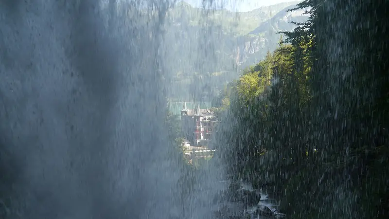
The lakeshore walk in Brienz and the Giessbach trail (Lake Brienz) need no special equipment. The Brienz village paths work in spring and autumn when the mountain does not.
Planning to stay overnight? Compare rooms in Brienz.
Frequently asked questions
How long does it take to hike up the Brienzer Rothorn?
The railway puts Brienz to Rothorn Kulm at about 5 to 6 hours on foot. Walking only to Planalp or from Planalp to the summit takes about 2.5 to 3 hours each.
Can I walk up and take the train down?
Yes. The railway says you can walk to Planalp and take the train for the rest, or the reverse. Buy a ticket for the section you ride and check seats if the day is busy.
Is the Hardergrat dangerous?
Yes, it is a long, exposed ridge route with no water and sections that need sure footing. The sources we read describe about 24 to 27 km and up to 10 hours. Do not attempt it without alpine experience.
Is camping allowed on the Hardergrat?
The sources we read say camping or bivouacking and drone flying are prohibited along the ridge. Check the current rules with local authorities.
Some links are affiliate links: if you book through them we earn a small commission at no extra cost to you. It funds the research behind this site.